
Day 3 was a full day! I feel like we did so much and still arrived at our bed and breakfast ahead of schedule!
I’d love to start the blog by showing you pictures of the Blarney Castle, which I assure you we went to this morning first thing and were the only people on the entire castle grounds! And Kegan kissed the Blarney Stone…and I climbed all the way to the top!
But… It was at this point I realized that my camera was saying “No Card”.
Damn.
After uploading my photos last night, I was too tired to get back up and put my card back in my camera, instead leaving it on the bedside table to put back in the morning. Between rolling around and Norah staying awake until 4am (Yeah. 4am. Lol) it apparently was knocked into the floor and we left town without it.
So I called the hotel and they easily found it and we went back to Cork to pick it up. Phew. That could have been bad for the blog posting! 🙂
And then we were off again. And instead of giving Donna crap for putting the half-gallon of milk in the cooler half open and flooding our lunches, or blowing up both power converters because she doesn’t understand basic electricity, or only bringing a 500 Euro which is basically the equivalent of Monopoly money here because no one will take a bill that large… Wait…what was I getting at? Oh yeah, so now we are making fun of me for trying to lose our pictures and making us backtrack to the driving hellhole that was Cork. Ha
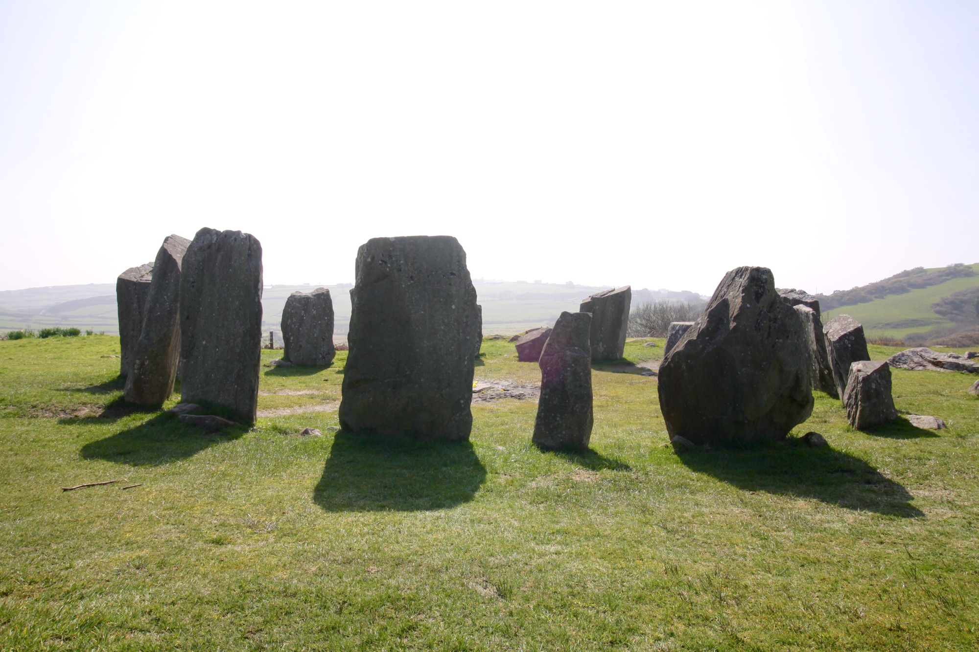
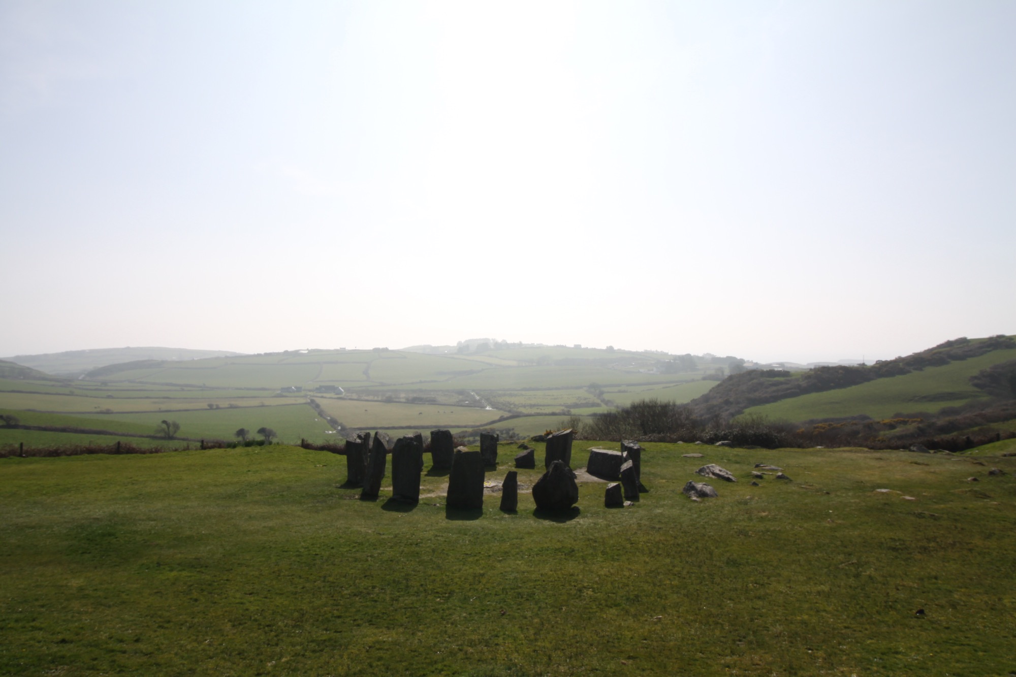
We headed south along the coast and saw our first megalithic site- the Drombeg Stone Circle. Aptly named because it’s in the town of Drombeg…and they are stones..in a circle.
They aren’t exactly sure what these stone circles were used for- whether it was burial ritual or sacrificial in nature… But they were definitely important. And usually located in some amazing spot. This one was no exception. This site is over 3000 years old. 3000. Like 1100BC. I can’t even wrap my head around that.
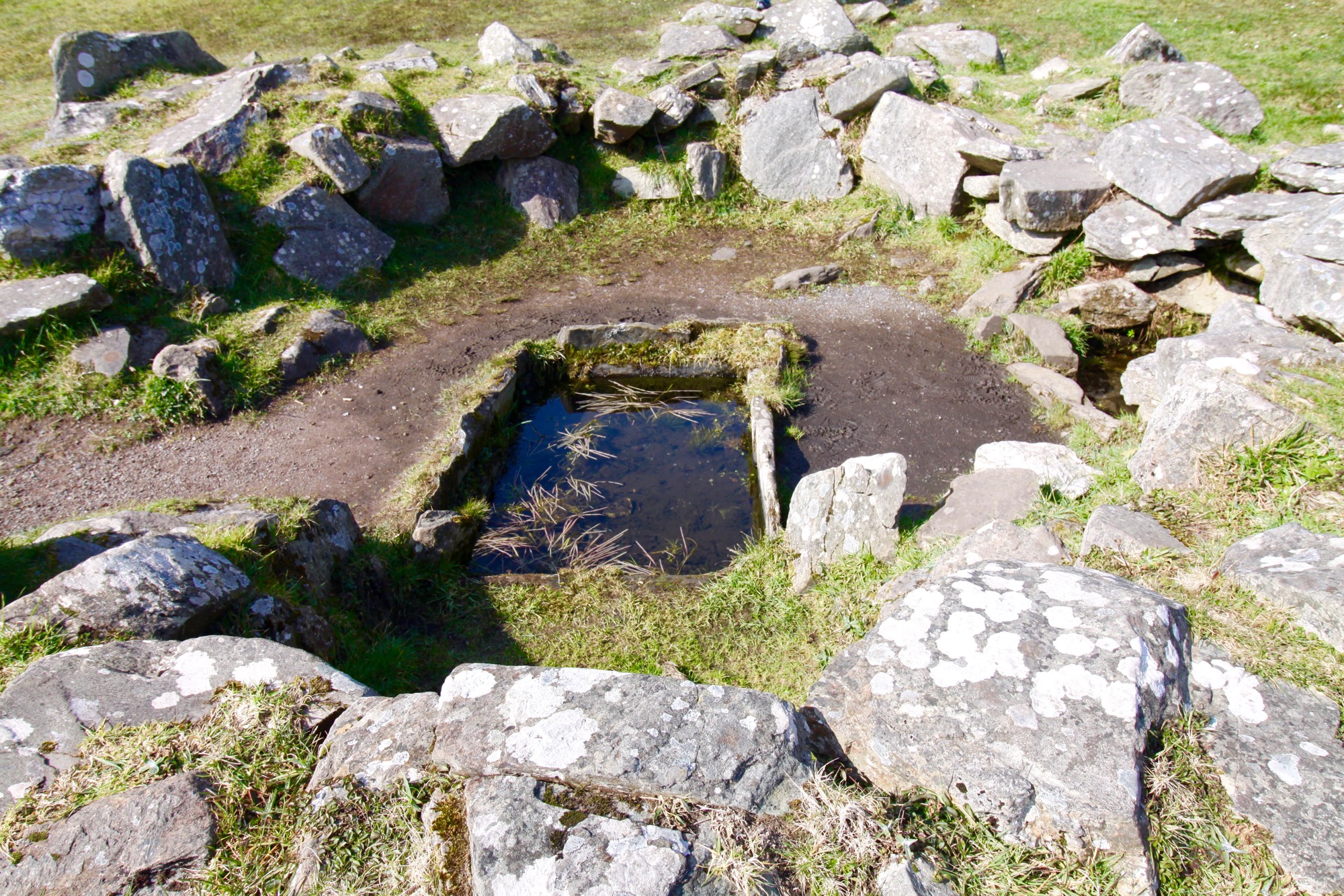
The sign posted said that they would use these springs, which could hold almost 70 gallons of water, for cooking. They would throw heated stones into the water from a fire nearby and it could bring the entire thing to a boil in under 20 minutes.
Amazing view.
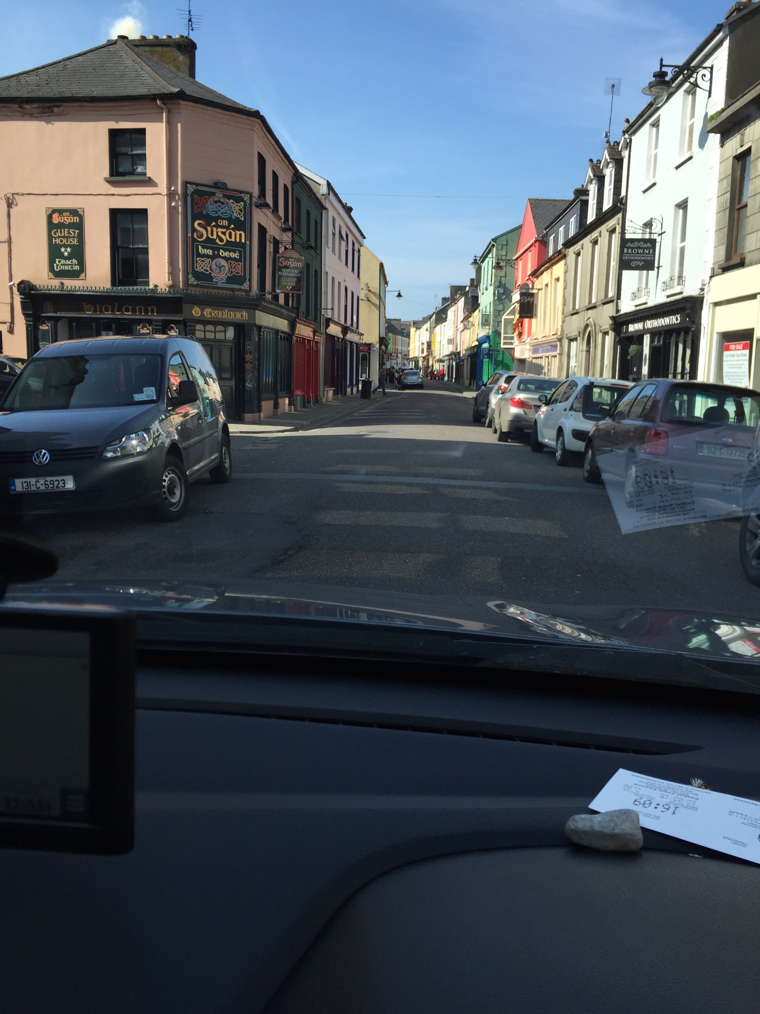
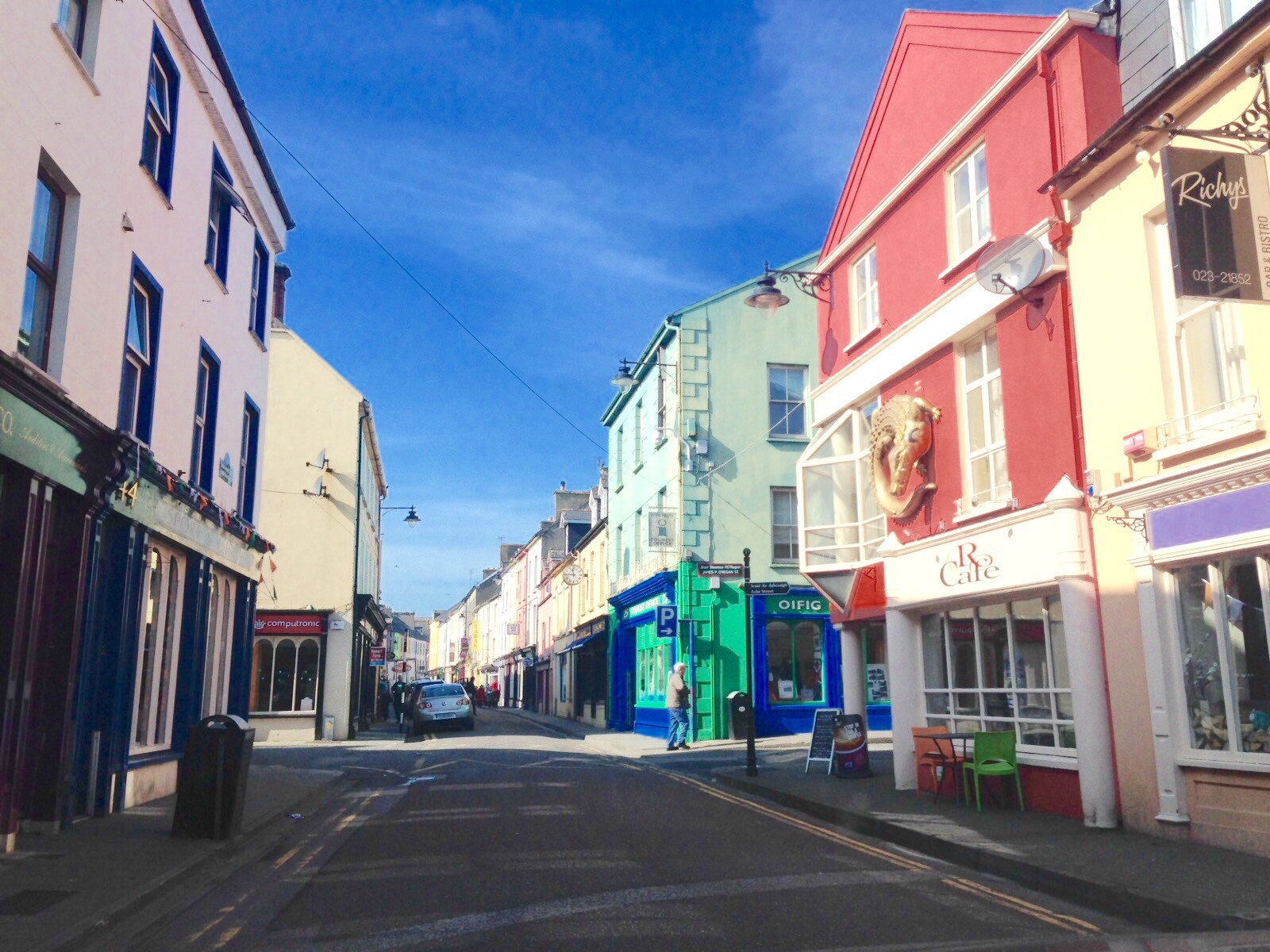
Next we drove through a cute little town called Bandy with this awesome Main Street
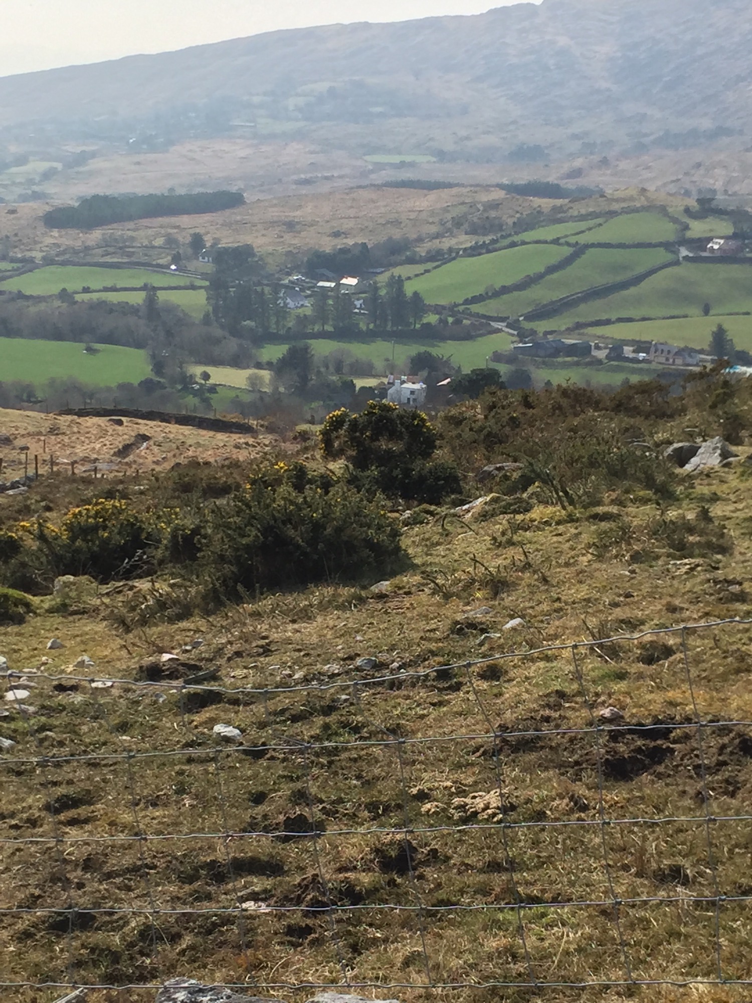
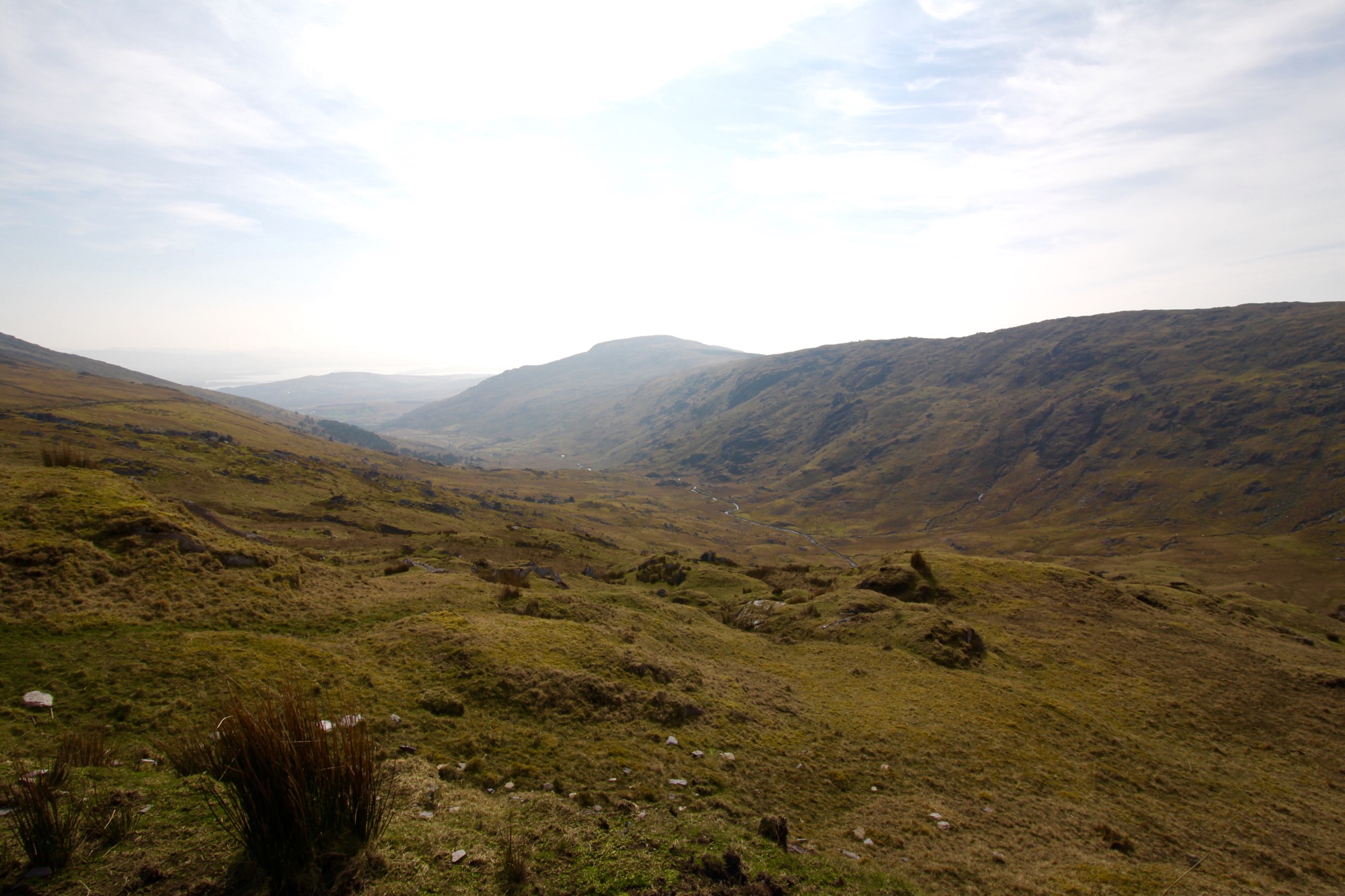
Then, we were supposed to take a road that went through a mountain and had a rock tunnel to drive through, but we missed the turn and actually ended up seeing the most amazing views by going directly OVER the mountain! Haha
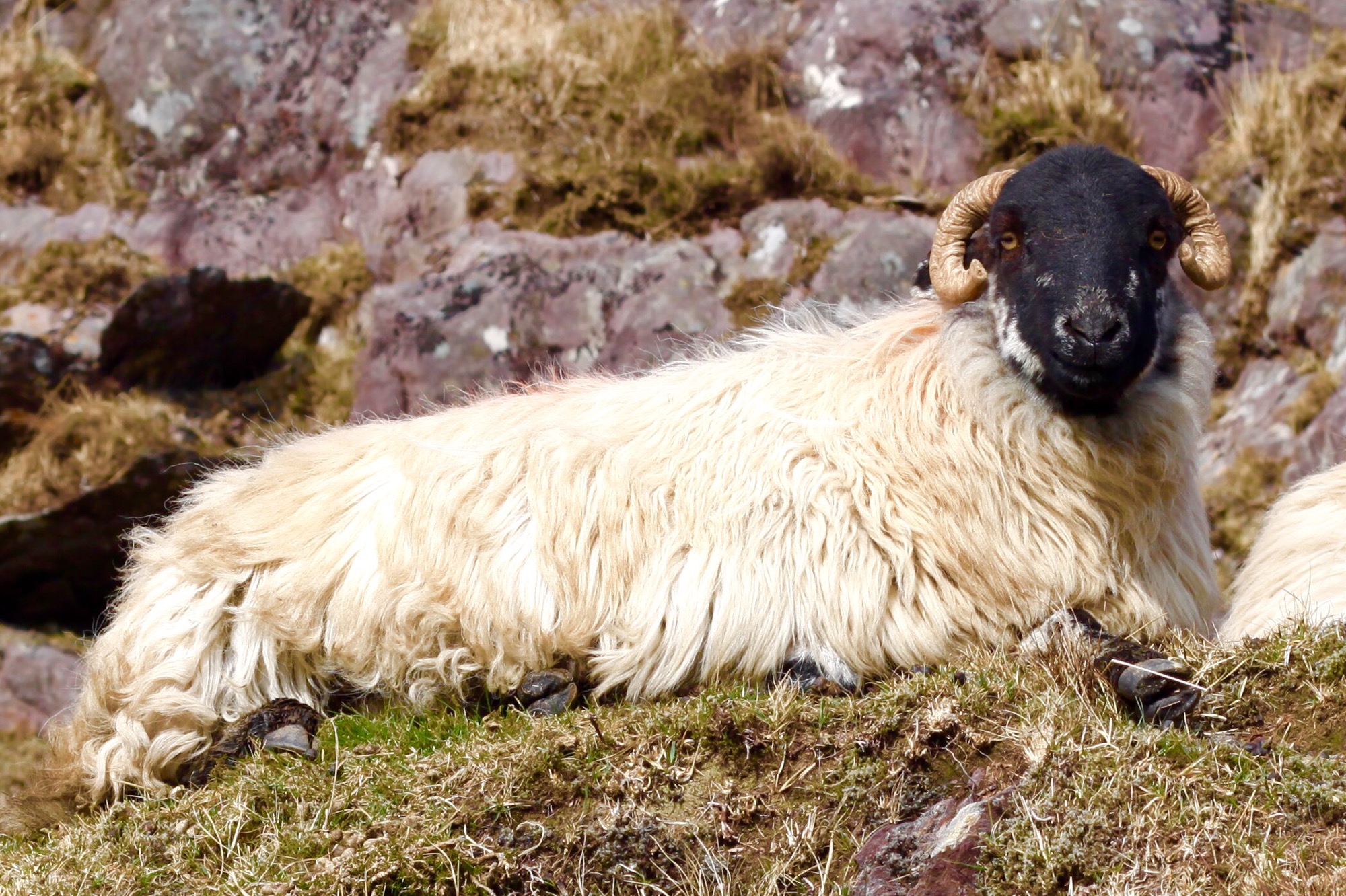
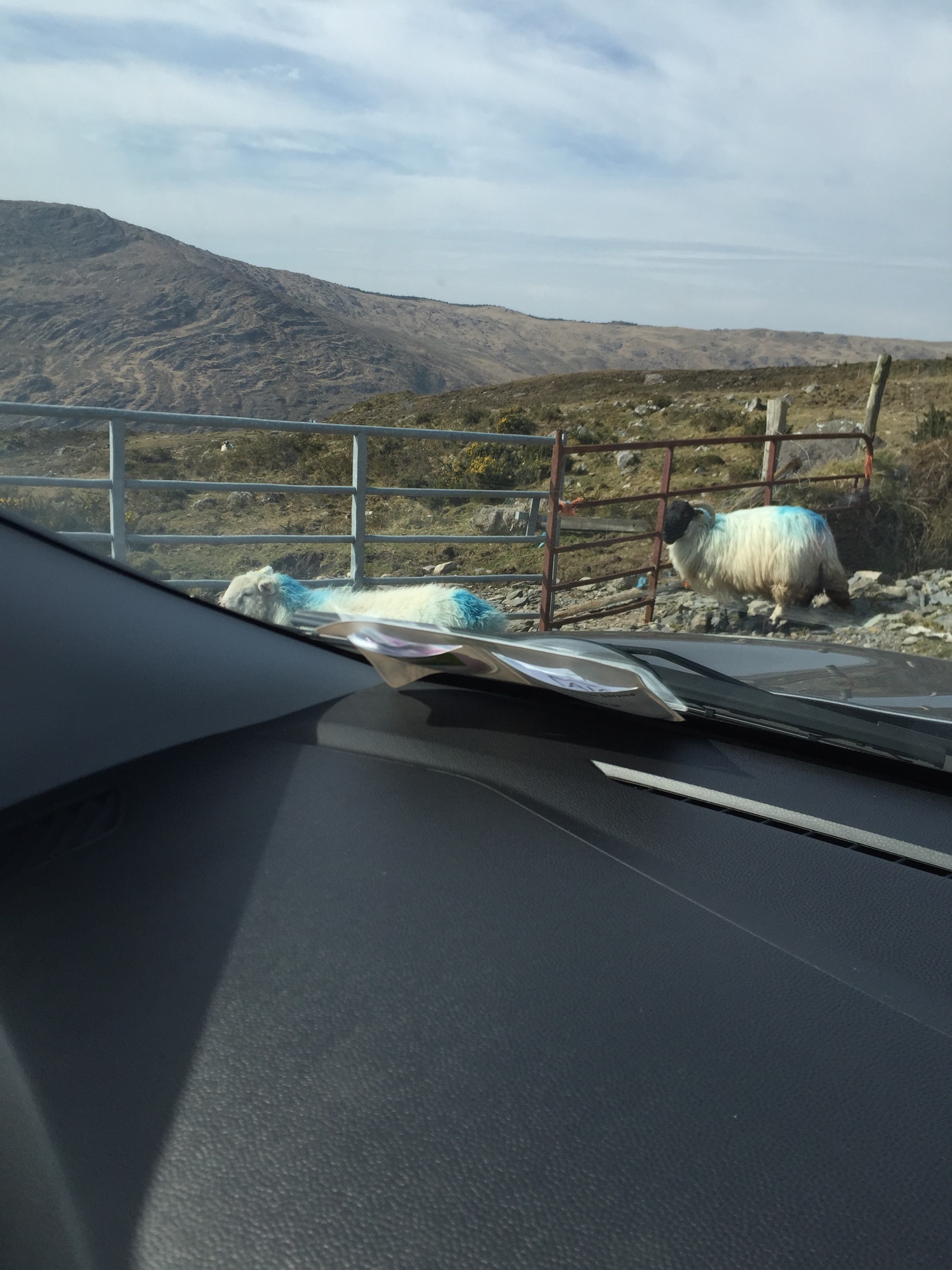
It was called Priest’s Leap…and it looked like another planet in places! It is this huge barren sandstone mountain and the road goes straight up. We made friends with the locals though. (baaahhhh)
Legend has it that a priest lept from the top of this mountain while evading English soldiers and landed miles away in the aforementioned town of Bandy. The rock he lept from then melted and swallowed the chasing hounds. Supposedly you can still see the “pawprints” in a rock at the summit… And another rock in Bantry holds the marks of the horse hooves where the priest landed…but I can’t verify because I didn’t know the story until I researched tonight…and surprisingly- there was no cell service up there! 🙂
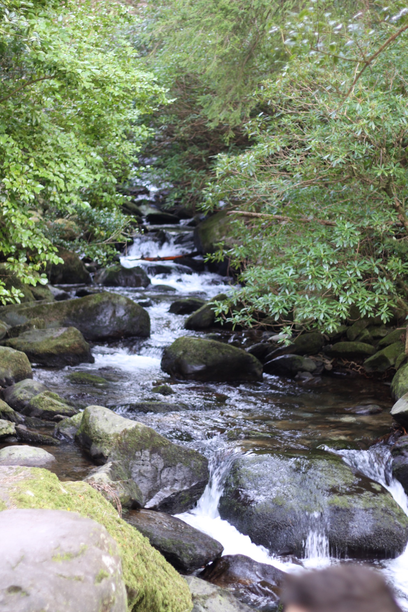
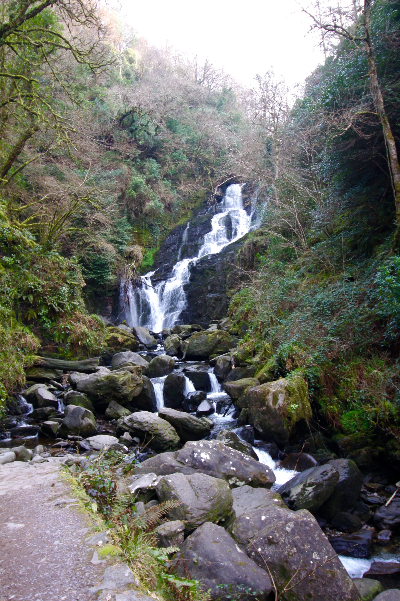
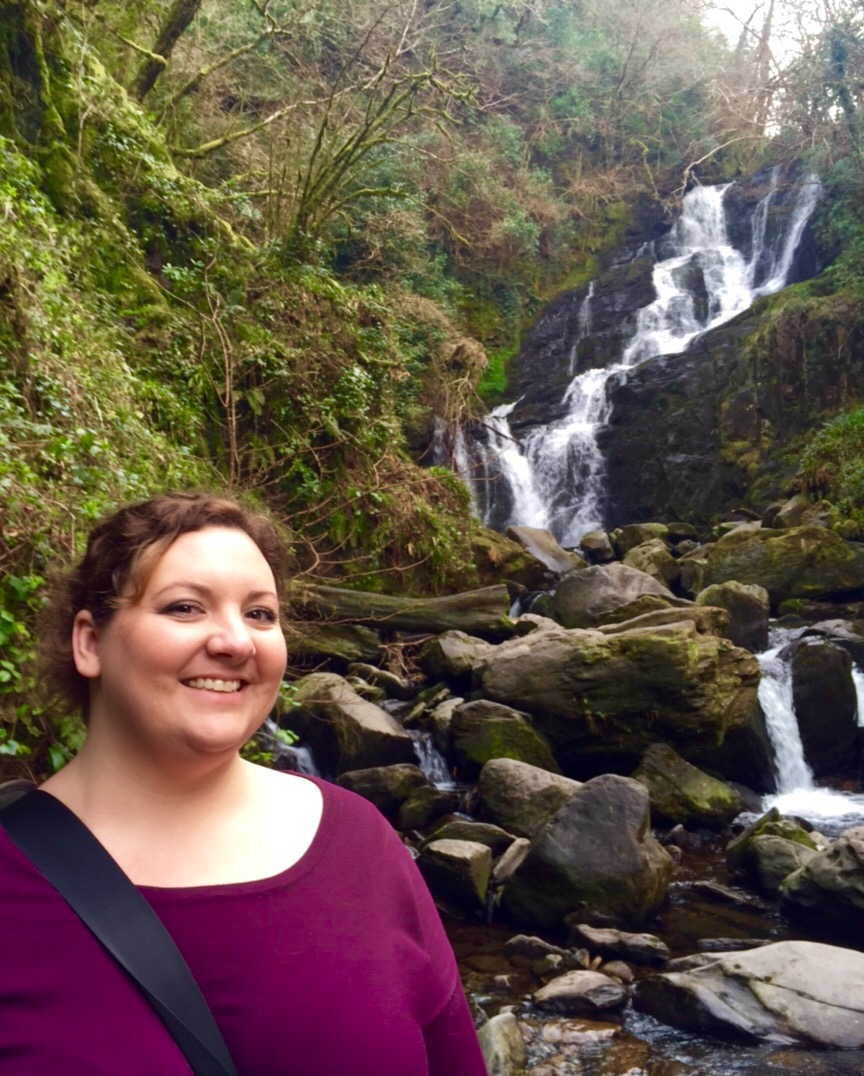
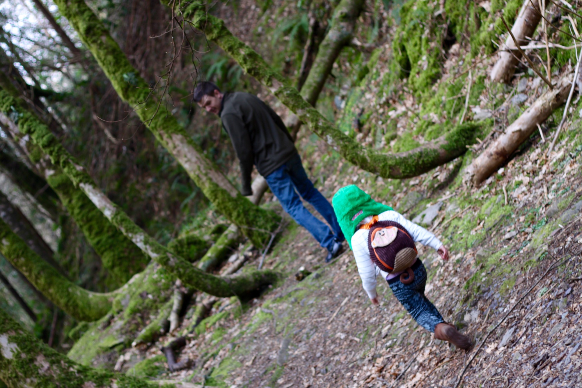
When finally came down off of the mountain, we headed towards Killarney National Park to see Torc Waterfall
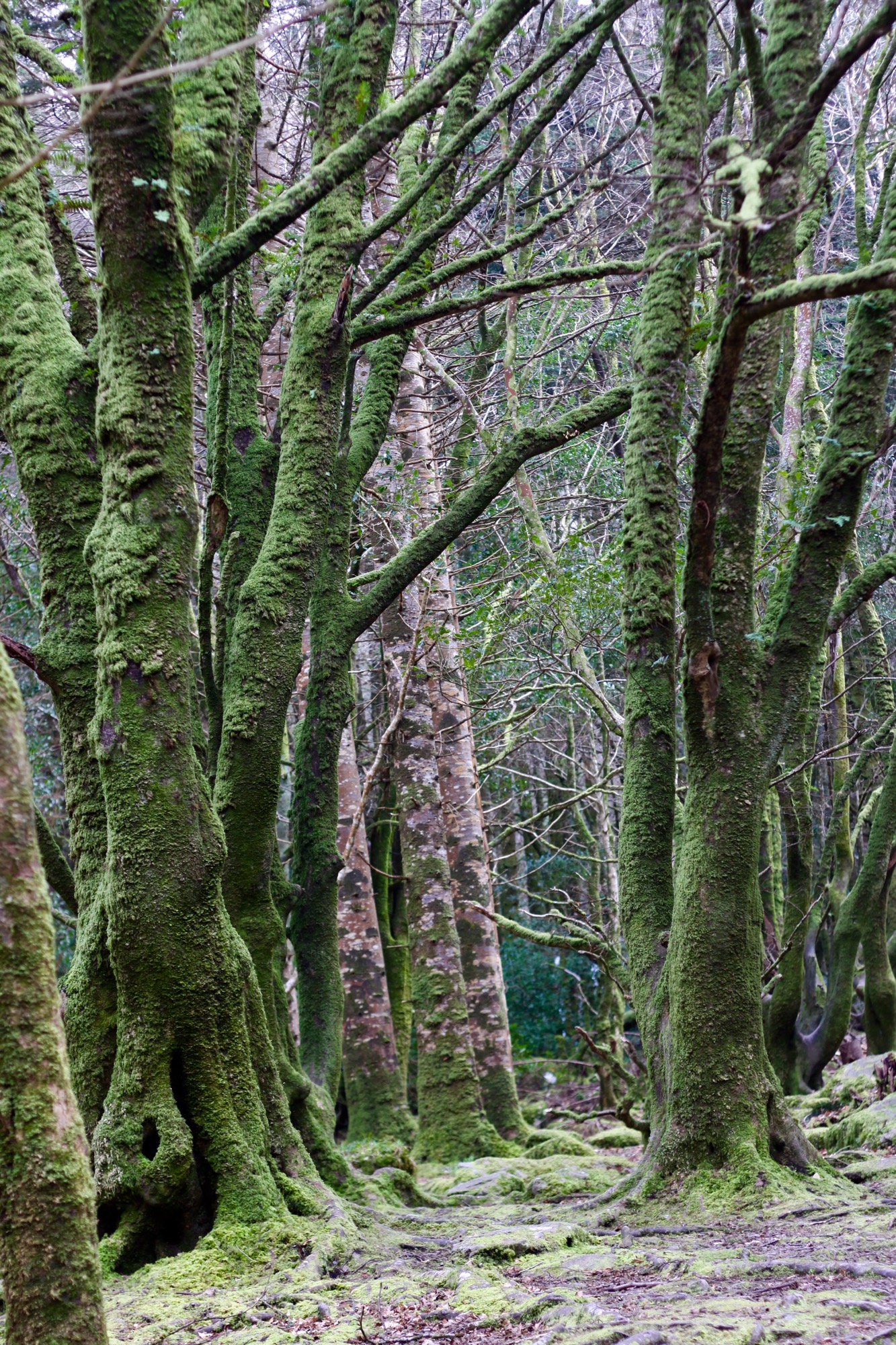
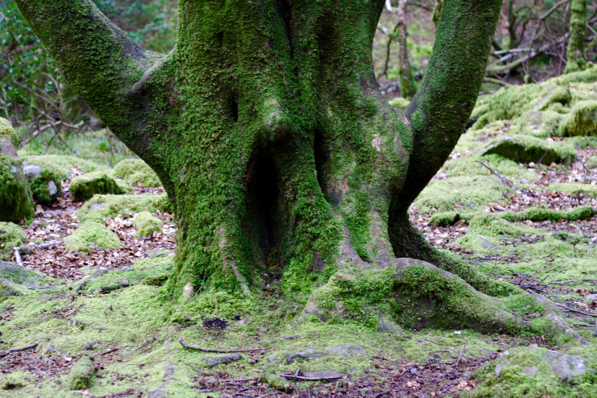
It was back a trail that looked like something out of a fairy tale. Moss covered rocks and trees…so cool.
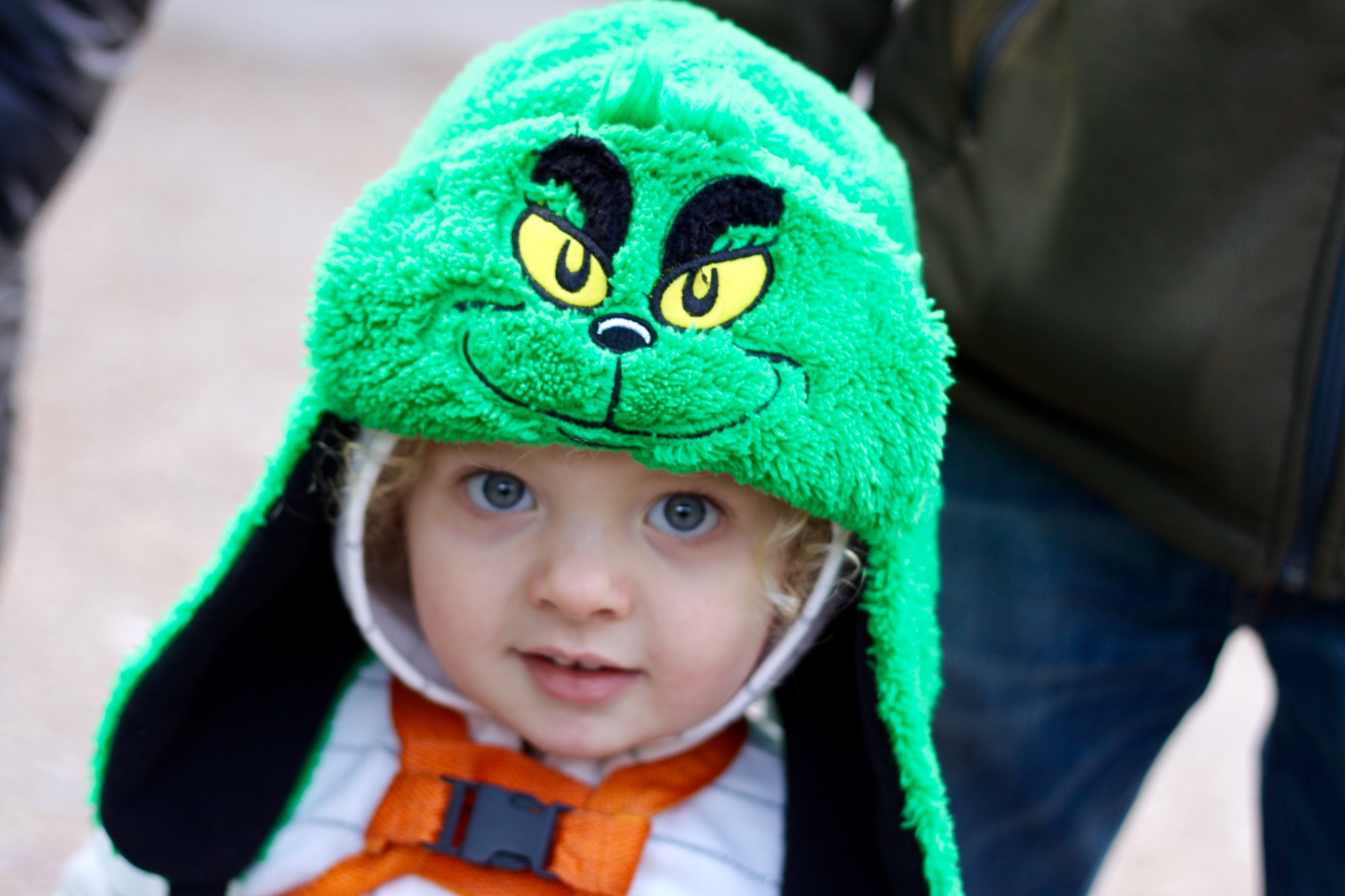
Could this thing be any cuter? 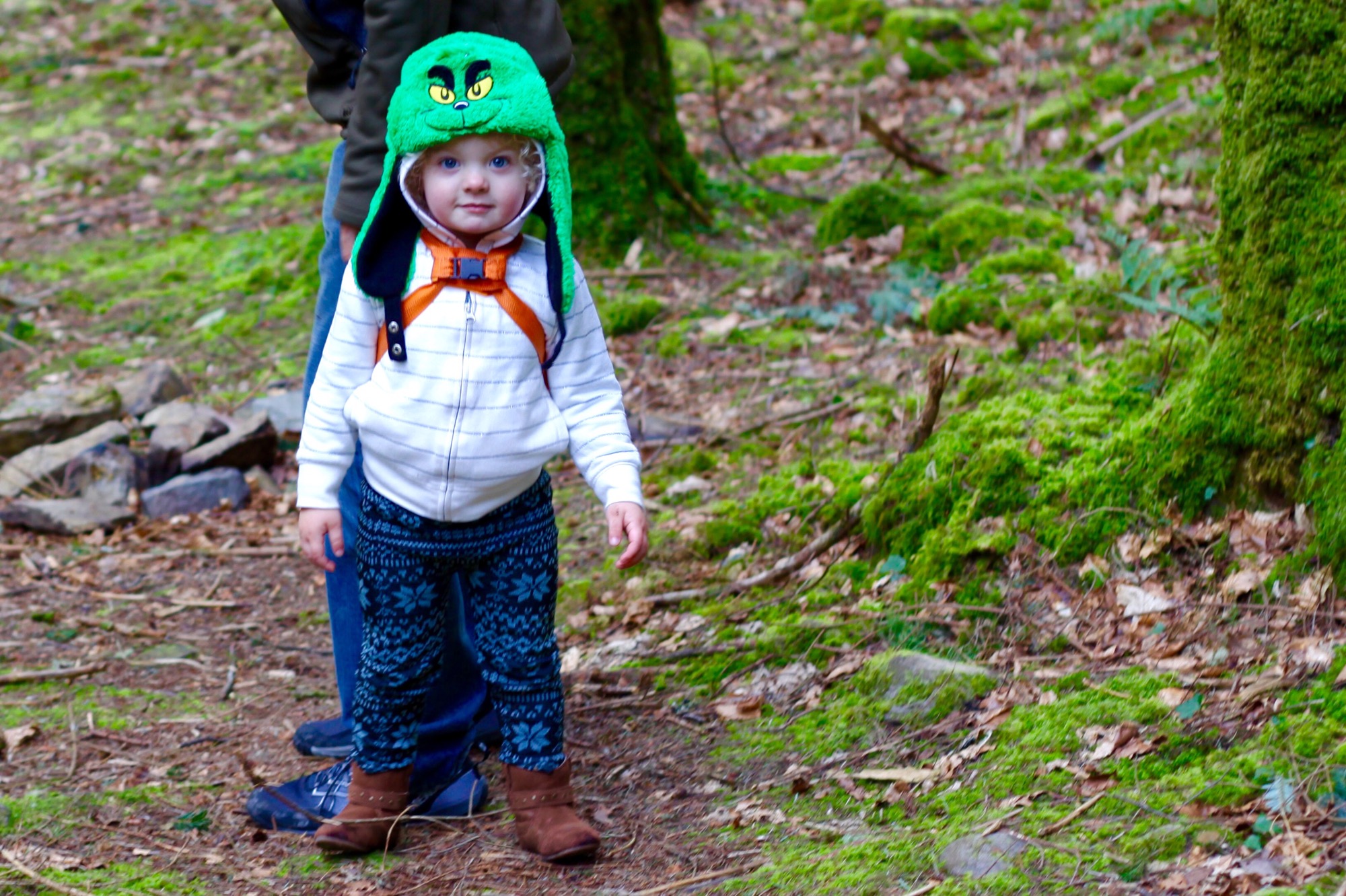
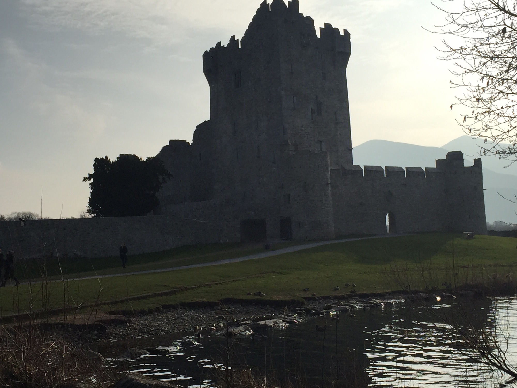
We did a quick drive by of another 15th century Tower castle – Ross Castle since it was just a couple miles away. This was the last holdout in the Munster area in the 1600s against the eventual English takeover by Cromwell’s army.
Most of the ruined castles basically go back to the Cromwell invasion. Irish/English history is so complicated and long..but Cliff notes version: Henry VIII decided he didn’t like how Ireland’s Gaelic tribe leaders- the Fitzgeralds – were treating the Tudors so he decided to just take over Ireland, not recognize the Fitzgeralds anymore and install a new “leader” in Ireland. Then remember that England was Protestant and they hated Catholics…the English parliament basically executed King Charles I for being too catholic and this created this open and acceptable hatred of Catholics- they couldn’t hold government positions, Catholicism was outlawed, etc. This didn’t go over well and eventually the Irish rebelled and more or less “won” for about 10 years until Oliver Cromwell showed up and basically demolished the entire island in the 1650s. They killed anyone that was involved in the rebellion, they shipped off anyone who owned land to be slaves in the West Indies, they burned all the crops and lands therefore causing a famine AND bubonic plague hit about the same time. So, in a nutshell that’s why everything here is ruins instead of amazing castles. Estimates say Ireland lost one third of its entire population during this time. It was not a good time to be Irish. So, again- catholism was illegal, Catholics couldn’t live in town…absolute insanity. After a king was finally placed back over England, a lot of the crazy anti-Catholic laws didn’t stand… But Irish Catholics have always been the hated second class citizens to the English. Lol
Anyway, back from my nerdy history detour- We took some “backroads” which I’m quickly learning in Ireland basically means a half paved one lane driveway. I’m dead serious- other than the main highways, every road is a one lane road. Wasn’t expecting that… But I’m adapting.
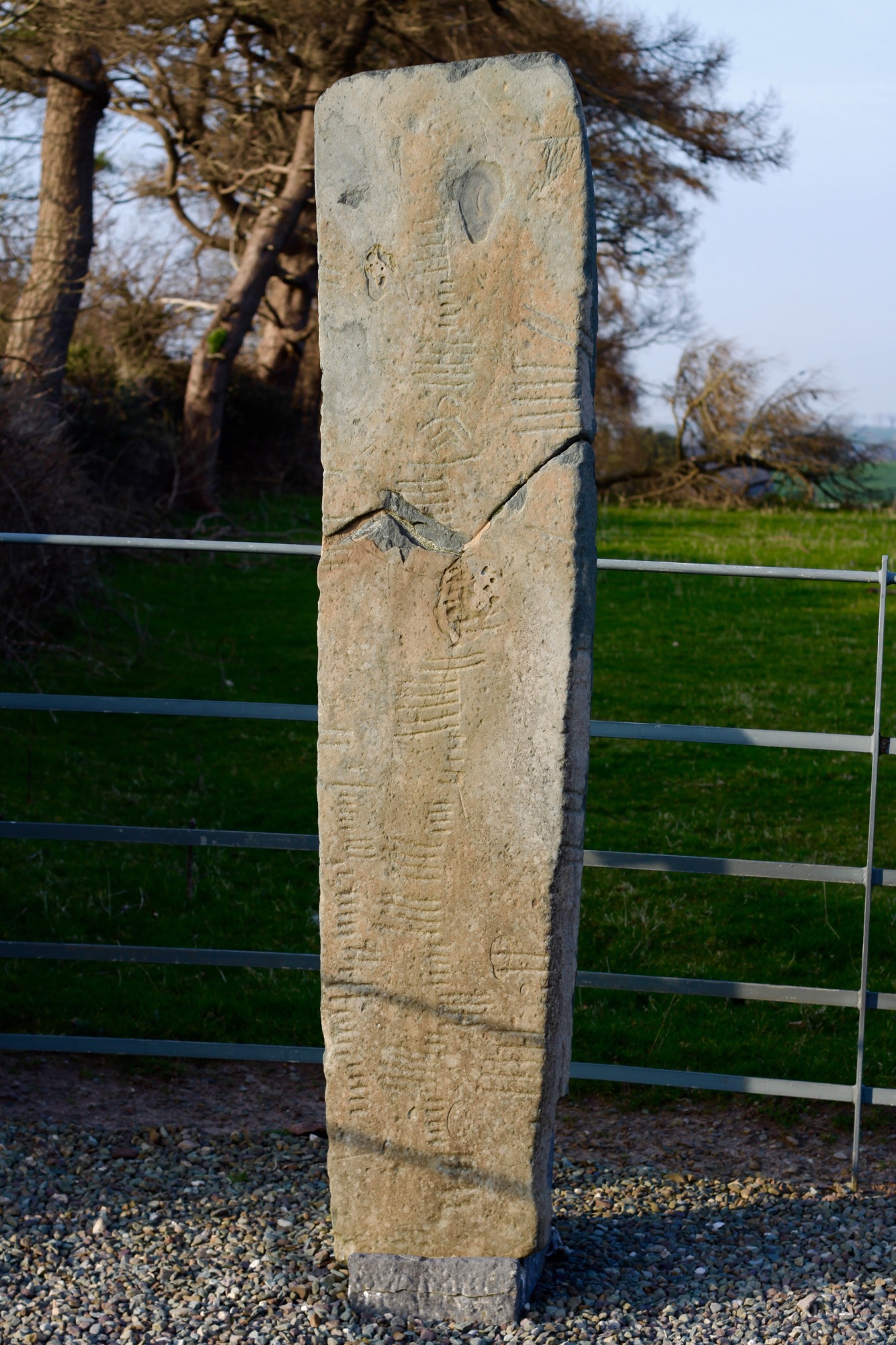
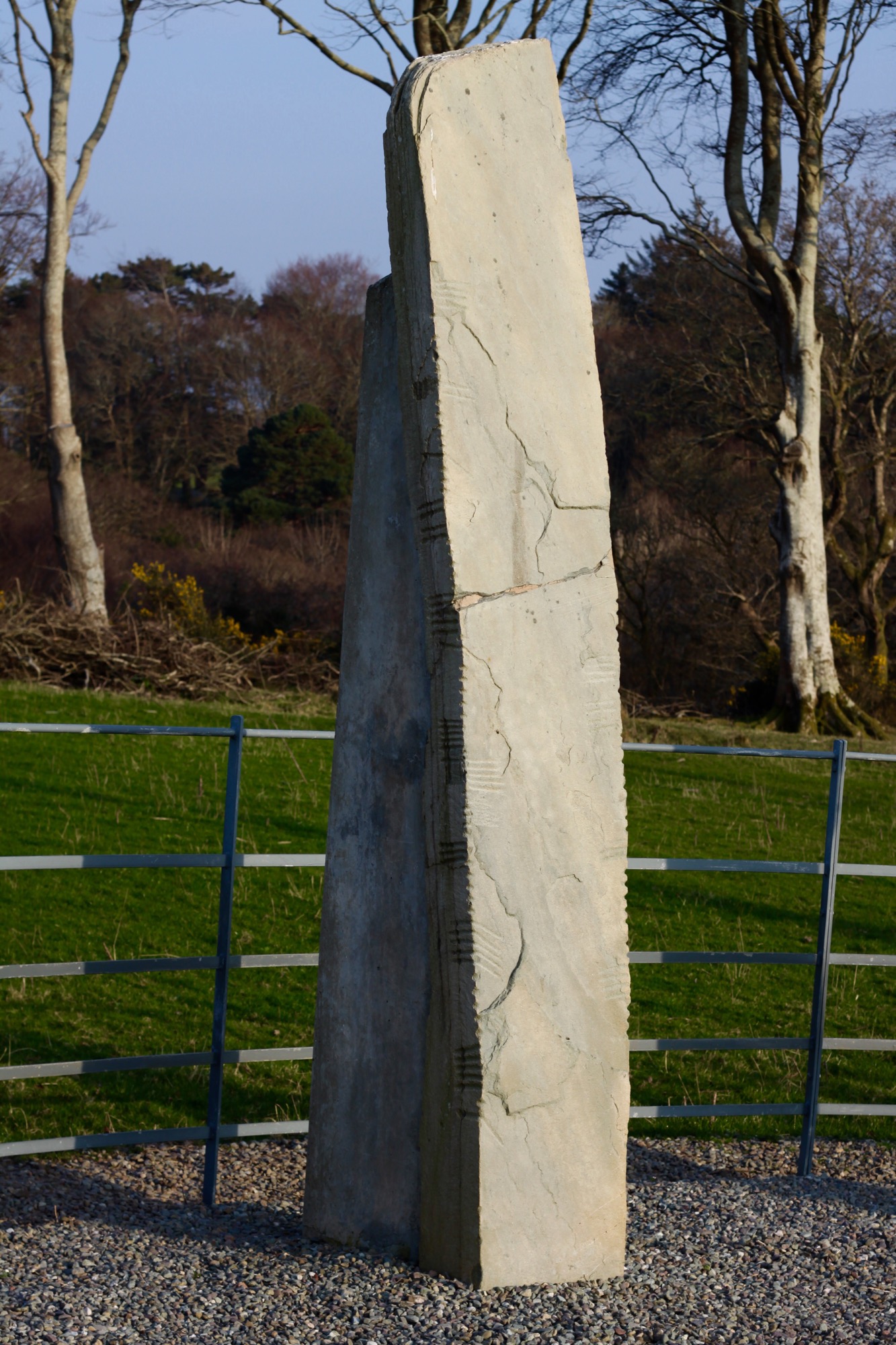
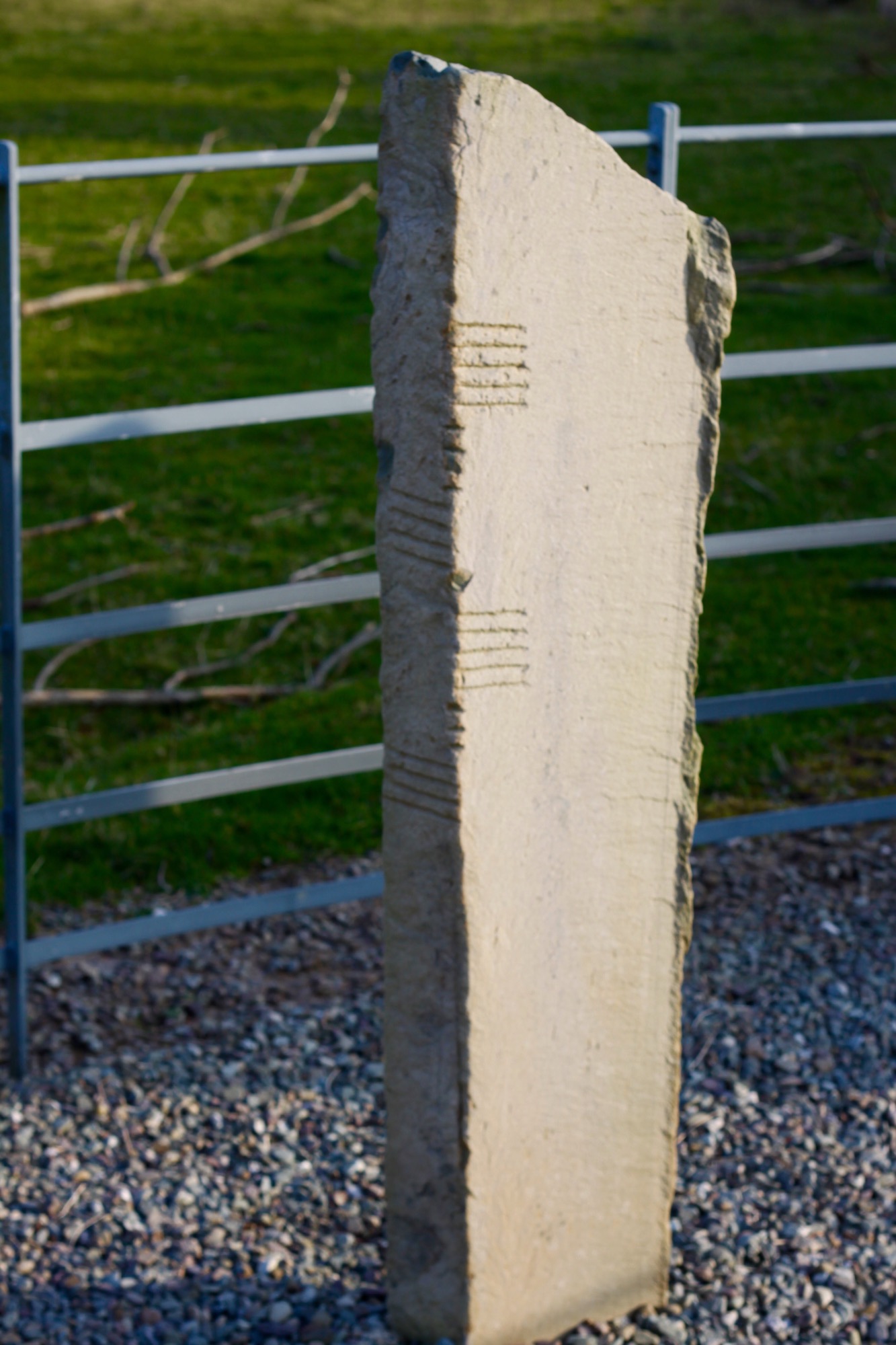
Along the road around Dunloe were these old Ogham Stones. They had been found around the area and displayed here. Ogham is a very old Celtric written language. Seems to originate around 3-400AD…. The lines actually are sort of like a code. We discussed it in the car…it makes more sense that this may have been a secret code by the Celts because by 300AD, the Romans controlled the area, with their Latin language…it wouldn’t make sense that there wasn’t a written language at all but the Celts may have needed a way to communicate without the Romans knowing.
We ended our day by driving some of the Ring of Kerry- an amazing oceanfront stretch of road in the southeast corner of Ireland.
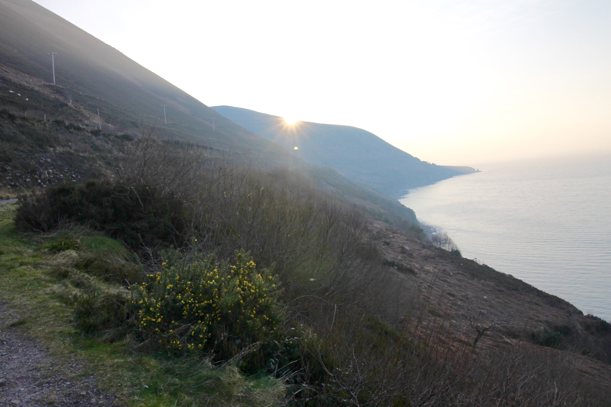
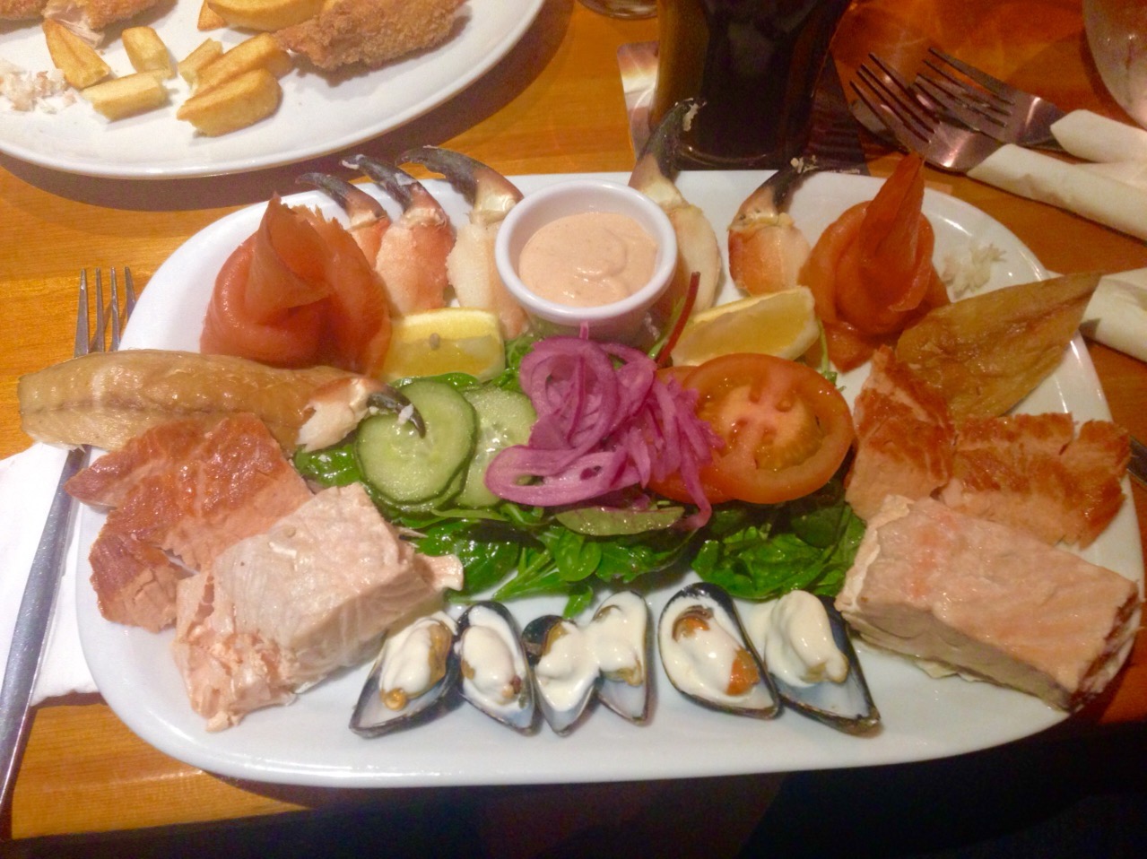
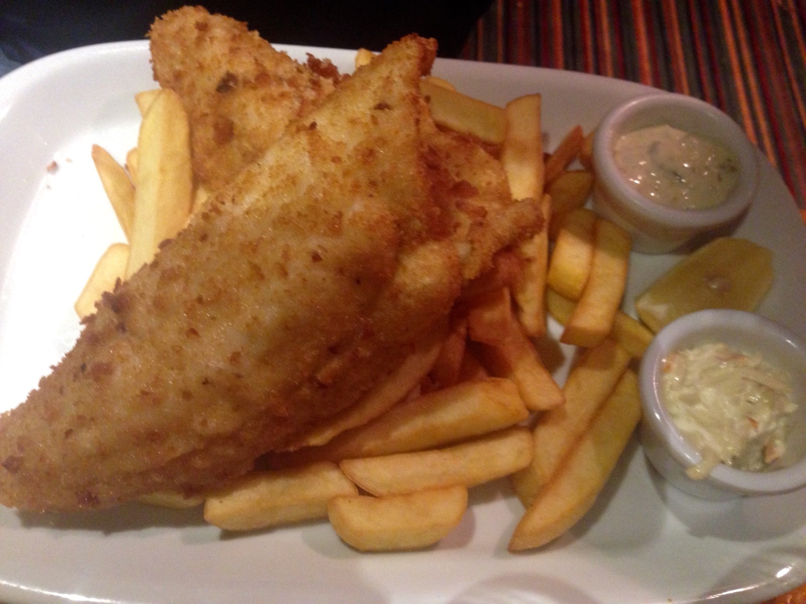
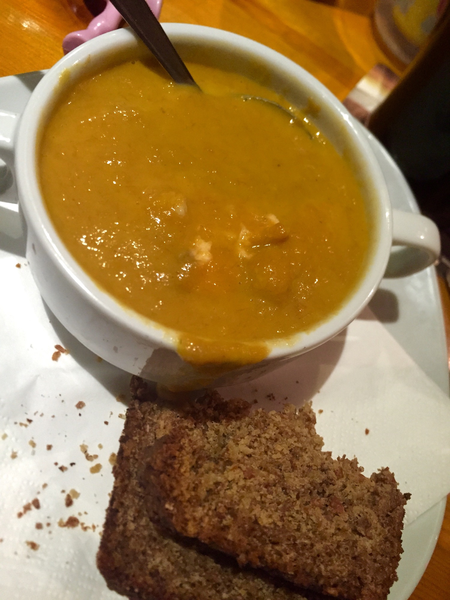
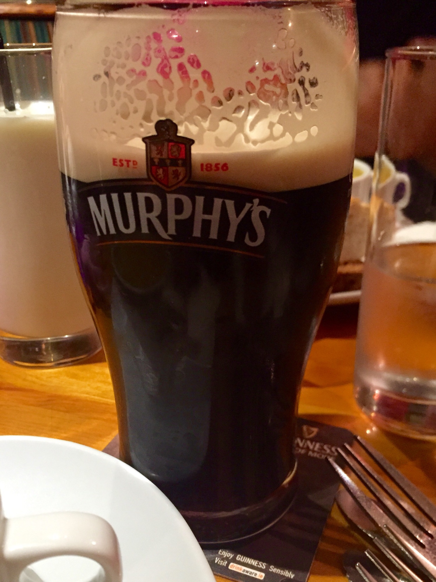
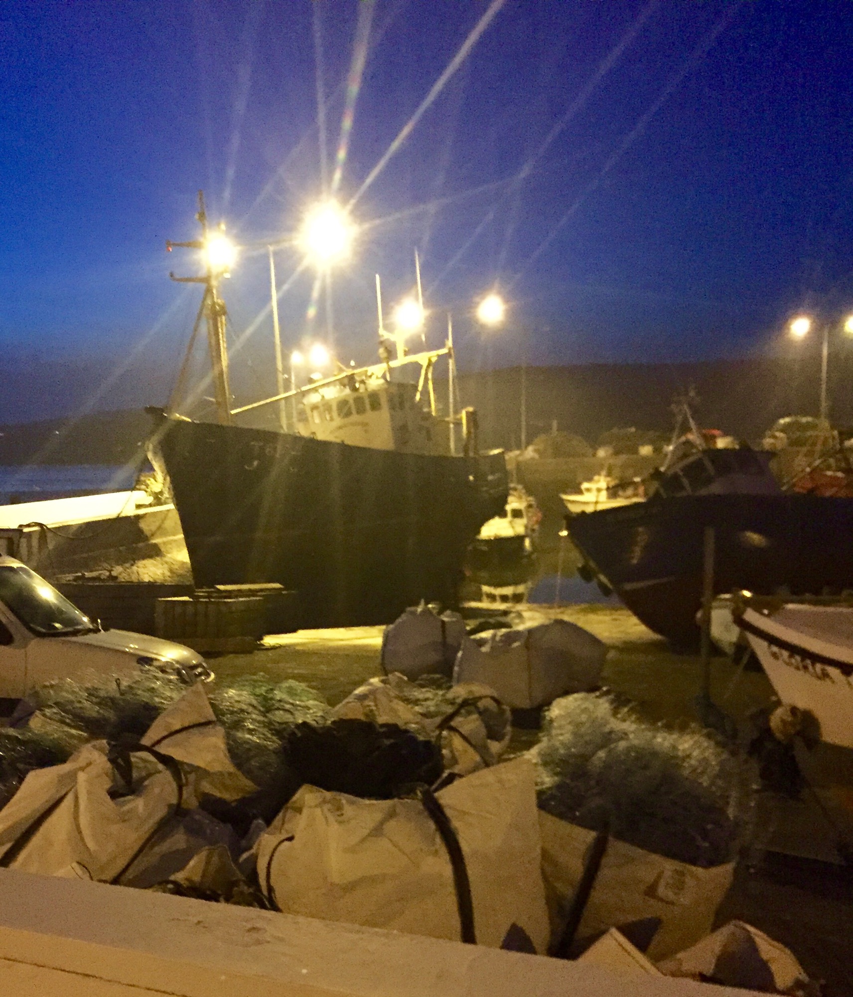
This led us to our bed and breakfast for the night, just outside of Portmagee where we ate dinner at a traditional Irish pub.
Since its a harbor fishing town- I got the fish platter and seafood chowder. Kegan had fish and chips and Donna had Irish stew.
Loving this! I wanna see a pic of the car!
Looks like you’re having a grand time! I love your pictorial history lessons.
Gee wiz, I don’t see how you have any time to do this blog but your very good at it and I am enjoying it. Loving Nora’s pictures.
Oh thank you 🙂 I do love to talk! Ha
It’s not really taking me that long. I have a little adapter that loads the photos from my camera onto an app on my iPhone and then I upload them to another app and type it out. So far it’s taken me about 20 minutes a day and I do it right as I lay down each night.
Just for the record Erin, I for one enjoy your “nerds historical detours”. I’m having a ball on your trip right here in my chair. And the pics of Norah are so precious. Enjoy.